 vesseltracker.com
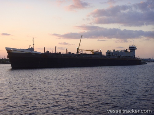
Vessel Teresa IMO: 9175016, MMSI: 368133000 Pusher Tug
Live AIS position:
UTC. Near Golfo Aranci),
updated 2025-08-06 15:59:08 UTC.
Find the position of the vessel Teresa on the map. The latter are known coordinates and path.
marine traffic ship tracker show on live map
The current position of vessel Teresa is 41.07411 lat / 9.55217 lng. Updated: 2025-08-06 15:59:08 UTCCurrently sailing under the flag of USA
Teresa built in 1997 year
Deadweight:
625 tDetails:
Last coordinates of the vessel:
2025-08-06 15:59:08 UTC, 41.07411, 9.55217, course: -1, speed: 1.2