 vesseltracker.com
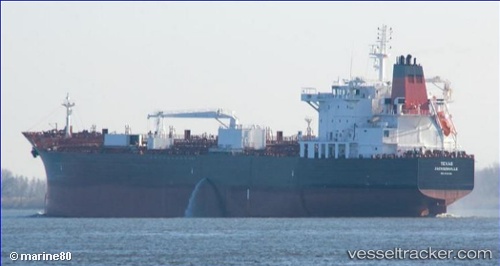
Vessel Texas IMO: 9704788, MMSI: 369037000 Chemical Oil Products Tanker
UTC, 41.77167, -126.02333, course: -1, speed: 11
UTC, 42.23392, -126.07616, course: 356, speed: 12.1
2026-02-11 09:40:52 UTC, 42.63500, -126.12500, course: -1, speed: 12
Live AIS position:
UTC. 70 nm W of Cape Blanco),
updated 2026-02-11 09:40:52 UTC.
Find the position of the vessel Texas on the map. The latter are known coordinates and path.
marine traffic ship tracker show on live map
The current position of vessel Texas is 42.63500 lat / -126.12500 lng. Updated: 2026-02-11 09:40:52 UTCCurrently sailing under the flag of USA
Details:
Last coordinates of the vessel:
UTC, 41.38316, -125.95747, course: 355, speed: 11.7UTC, 41.77167, -126.02333, course: -1, speed: 11
UTC, 42.23392, -126.07616, course: 356, speed: 12.1
2026-02-11 09:40:52 UTC, 42.63500, -126.12500, course: -1, speed: 12