 vesseltracker.com
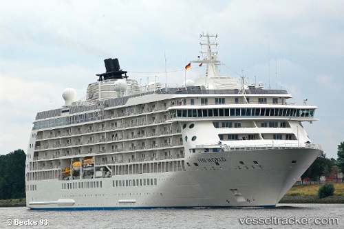
Vessel The World IMO: 9219331, MMSI: 311213000 Cruise Ship
UTC, -70.31170, 170.40050, course: 185, speed: 8.2
UTC, -70.60846, 170.26003, course: 192, speed: 8.3
2026-01-31 11:57:47 UTC, -70.84210, 170.17847, course: 176, speed: 8.1
Live AIS position:
UTC. 249 nm NE of Jang Bogo Station),
updated 2026-01-31 11:57:47 UTC.
Find the position of the vessel The World on the map. The latter are known coordinates and path.
marine traffic ship tracker show on live map
The current position of vessel The World is -70.84210 lat / 170.17847 lng. Updated: 2026-01-31 11:57:47 UTCCurrently sailing under the flag of Bahamas
The World built in 2002 year
Deadweight:
4558 tDetails:
Last coordinates of the vessel:
UTC, -70.07409, 170.39607, course: 161, speed: 7.2UTC, -70.31170, 170.40050, course: 185, speed: 8.2
UTC, -70.60846, 170.26003, course: 192, speed: 8.3
2026-01-31 11:57:47 UTC, -70.84210, 170.17847, course: 176, speed: 8.1