 vesseltracker.com
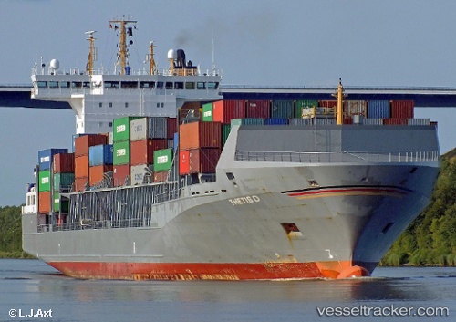
Find the position of the vessel Thetis D on the map. The latter are known coordinates and path.
marine traffic ship tracker show on live map
The current position of vessel Thetis D is 53.88037 lat / 9.19399 lng. Updated: 2025-11-07 16:44:21 UTCDetails:
Last coordinates of the vessel:
UTC, 53.98931, 8.34361, course: 100, speed: 14.7UTC, 53.91475, 8.67582, course: 151, speed: 13.8
UTC, 53.85253, 8.99908, course: 73, speed: 12.1
2025-11-07 16:44:21 UTC, 53.88037, 9.19399, course: 95, speed: 12.7