 vesseltracker.com
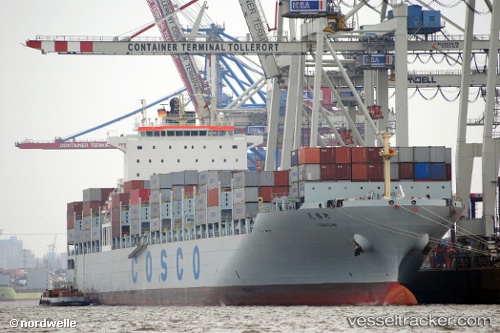
Vessel Tian Fu He IMO: 9437567, MMSI: 412746000 Container Ship
UTC, 23.24034, 117.59549, course: 52, speed: 11.3
UTC, 23.36007, 117.76705, course: 45, speed: 12.2
2026-01-26 03:58:00 UTC, 23.69463, 118.21507, course: 60, speed: 13.3
Live AIS position:
UTC. 33 nm NE of Nanao Pt),
updated 2026-01-26 03:58:00 UTC.
Find the position of the vessel Tian Fu He on the map. The latter are known coordinates and path.
marine traffic ship tracker show on live map
The current position of vessel Tian Fu He is 23.69463 lat / 118.21507 lng. Updated: 2026-01-26 03:58:00 UTCCurrently sailing under the flag of China
Tian Fu He built in 2010 year
Deadweight:
63143 tDetails:
Last coordinates of the vessel:
UTC, 23.03228, 117.19406, course: 54, speed: 11.3UTC, 23.24034, 117.59549, course: 52, speed: 11.3
UTC, 23.36007, 117.76705, course: 45, speed: 12.2
2026-01-26 03:58:00 UTC, 23.69463, 118.21507, course: 60, speed: 13.3