 vesseltracker.com
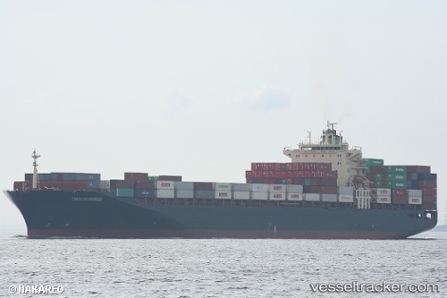
Vessel Tianjin Bridge IMO: 9282962, MMSI: 538005938 Container Ship
Live AIS position:
UTC. Near Tai Tam),
updated 2025-12-18 23:42:23 UTC.
Find the position of the vessel Tianjin Bridge on the map. The latter are known coordinates and path.
marine traffic ship tracker show on live map
The current position of vessel Tianjin Bridge is 22.15845 lat / 114.16743 lng. Updated: 2025-12-18 23:42:23 UTCDetails:
Last coordinates of the vessel:
2025-12-18 23:42:23 UTC, 22.15845, 114.16743, course: 89, speed: 0