 vesseltracker.com
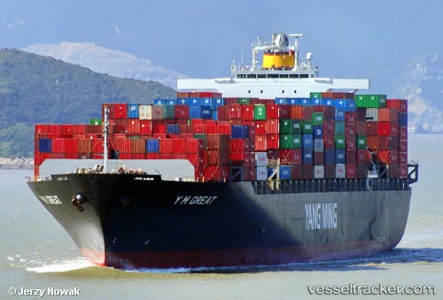
Find the position of the vessel TINA I on the map. The latter are known coordinates and path.
marine traffic ship tracker show on live map
The current position of vessel TINA I is 21.9638 lat / 114.524 lng. Updated: 2025-04-24 02:41:24 UTCCurrently sailing under the flag of Liberia
TINA I built in 2004 year
Deadweight:
67270 tPayload_mass:
67270 tonneGross tonnage:
66332Service entry:
2004-01-01T00:00:00ZManufacturer:
Imabari Shipbuilding Hiroshima Shipyard (Japanese shipyard)
Details:
Last coordinates of the vessel:
UTC, 21.9643, 114.523, course: 209, speed: 0UTC, 21.9643, 114.523, course: 207, speed: 0
UTC, 21.9643, 114.523, course: 212, speed: 0.1
2025-04-24 02:41:24 UTC, 21.9638, 114.524, course: 228, speed: 0.1