 vesseltracker.com
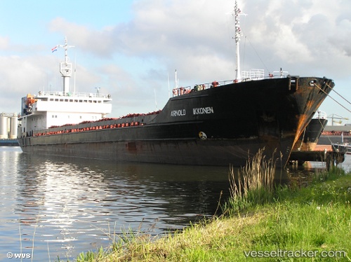
Vessel Tiyam IMO: 8874495, MMSI: 422797000 General Cargo Ship
UTC, 39.08080, 52.97445, course: 182, speed: 5.3
UTC, 39.08080, 52.97445, course: 182, speed: 5.3
2026-02-10 05:40:06 UTC, 39.08080, 52.97445, course: 182, speed: 5.3
Live AIS position:
UTC. 21 nm S of Cheleken),
updated 2026-02-10 05:40:06 UTC.
Find the position of the vessel Tiyam on the map. The latter are known coordinates and path.
marine traffic ship tracker show on live map
The current position of vessel Tiyam is 39.08080 lat / 52.97445 lng. Updated: 2026-02-10 05:40:06 UTCDetails:
Last coordinates of the vessel:
UTC, 39.24820, 52.97088, course: 184, speed: 5.5UTC, 39.08080, 52.97445, course: 182, speed: 5.3
UTC, 39.08080, 52.97445, course: 182, speed: 5.3
2026-02-10 05:40:06 UTC, 39.08080, 52.97445, course: 182, speed: 5.3