 vesseltracker.com
Live AIS position:
56.74441° N, 11.86249° E UTC. 20 nm SW of Glommen),
updated 2025-11-20 20:42:59 UTC.
Find the position of the vessel Tollund on the map. The latter are known coordinates and path.
marine traffic ship tracker show on live map
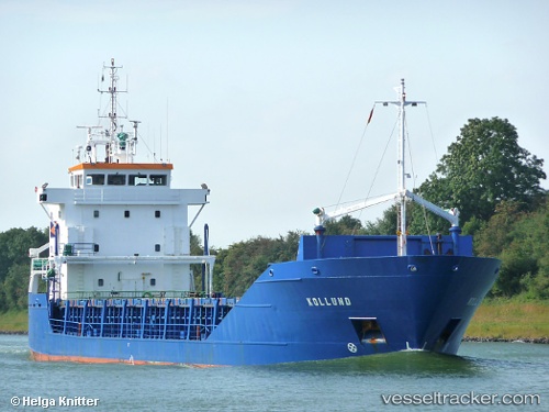
The current position of vessel Tollund is 56.74441 lat / 11.86249 lng. Updated: 2025-11-20 20:42:59 UTCCurrently sailing under the flag of Poland
Tollund built in 1994 year
Deadweight:
4170 tDetails:
Last coordinates of the vessel:
UTC, 57.17871, 11.60756, course: 160, speed: 10.7UTC, 56.98424, 11.72909, course: 159, speed: 10.7
UTC, 56.85122, 11.80428, course: 159, speed: 10.9
2025-11-20 20:42:59 UTC, 56.74441, 11.86249, course: 168, speed: 11.3