 vesseltracker.com
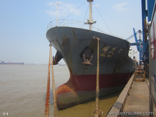
Vessel Tong Mao 9 IMO: 9593189, MMSI: 413440260 General Cargo Ship
UTC, 24.58500, 121.86667, course: -1, speed: 0
UTC, 24.58500, 121.86667, course: -1, speed: 0
2026-03-24 03:57:25 UTC, 24.58667, 121.86667, course: -1, speed: 0
Live Vessel Tong Mao 9 Analytics (details, animations, etc.)
Live AIS position: UTC. Near SUAO), updated 2026-03-24 03:57:25 UTC.Find the position of the vessel Tong Mao 9 on the map. The latter are known coordinates and path.
marine traffic ship tracker show on live map
The current position of vessel Tong Mao 9 is 24.58667 lat / 121.86667 lng. Updated: 2026-03-24 03:57:25 UTCCurrently sailing under the flag of China
Details:
Last coordinates of the vessel:
UTC, 24.58661, 121.86725, course: 82, speed: 0UTC, 24.58500, 121.86667, course: -1, speed: 0
UTC, 24.58500, 121.86667, course: -1, speed: 0
2026-03-24 03:57:25 UTC, 24.58667, 121.86667, course: -1, speed: 0