 vesseltracker.com
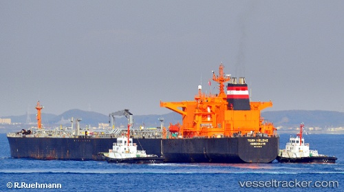
Vessel 667001295 IMO: 9143532, MMSI: 667001295
UTC, 6.79694, -58.17784, course: -1, speed: 0
UTC, 6.79525, -58.17824, course: -1, speed: 0
2026-02-01 17:40:32 UTC, 6.79528, -58.17829, course: -1, speed: 0
Live AIS position:
UTC. Near Georgetown),
updated 2026-02-01 17:40:32 UTC.
Find the position of the vessel 667001295 on the map. The latter are known coordinates and path.
marine traffic ship tracker show on live map
The current position of vessel 667001295 is 6.79528 lat / -58.17829 lng. Updated: 2026-02-01 17:40:32 UTCDetails:
Last coordinates of the vessel:
UTC, 6.79692, -58.17769, course: -1, speed: 0UTC, 6.79694, -58.17784, course: -1, speed: 0
UTC, 6.79525, -58.17824, course: -1, speed: 0
2026-02-01 17:40:32 UTC, 6.79528, -58.17829, course: -1, speed: 0