 vesseltracker.com
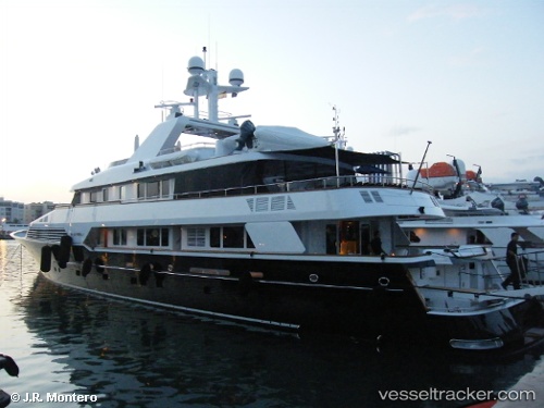
Vessel Tugatsu IMO: 1006867, MMSI: 319790000 Yacht
UTC, 41.37833, 2.18500, course: -1, speed: 0
UTC, 41.37866, 2.18546, course: 166, speed: 0
2026-02-08 19:33:28 UTC, 41.37866, 2.18546, course: 165, speed: 0
Live AIS position:
UTC. Near Barcelona),
updated 2026-02-08 19:33:28 UTC.
Find the position of the vessel Tugatsu on the map. The latter are known coordinates and path.
marine traffic ship tracker show on live map
The current position of vessel Tugatsu is 41.37866 lat / 2.18546 lng. Updated: 2026-02-08 19:33:28 UTCDetails:
Last coordinates of the vessel:
UTC, 41.37869, 2.18547, course: 165, speed: 0UTC, 41.37833, 2.18500, course: -1, speed: 0
UTC, 41.37866, 2.18546, course: 166, speed: 0
2026-02-08 19:33:28 UTC, 41.37866, 2.18546, course: 165, speed: 0