 vesseltracker.com
Find the position of the vessel Tummas T on the map. The latter are known coordinates and path.
marine traffic ship tracker show on live map
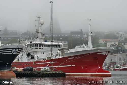
The current position of vessel Tummas T is 62.23667 lat / -7.27807 lng. Updated: 2025-10-31 00:44:12 UTCCurrently sailing under the flag of Faroe Is
Tummas T built in 2002 year
Details:
Last coordinates of the vessel:
UTC, 62.23341, -7.28082, course: 223, speed: 1UTC, 62.23692, -7.27512, course: 162, speed: 0.7
UTC, 62.24725, -7.29702, course: 233, speed: 1.1
2025-10-31 00:44:12 UTC, 62.23667, -7.27807, course: 276, speed: 0.9
Track of the vessel in the last 14 days
The ship also appears on the maps: