 vesseltracker.com
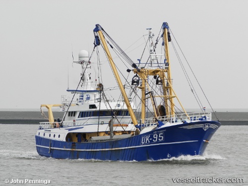
Find the position of the vessel Uk 95 Aart Maaskant on the map. The latter are known coordinates and path.
marine traffic ship tracker show on live map
The current position of vessel Uk 95 Aart Maaskant is 54.88500 lat / 6.05833 lng. Updated: 2025-10-29 04:34:33 UTCCurrently sailing under the flag of Netherlands
Uk 95 Aart Maaskant built in 1996 year
Details:
Last coordinates of the vessel:
UTC, 54.89333, 5.90167, course: -1, speed: 6UTC, 54.90170, 5.96502, course: 97, speed: 6.2
UTC, 54.88167, 6.12500, course: -1, speed: 6
2025-10-29 04:34:33 UTC, 54.88500, 6.05833, course: -1, speed: 6