 vesseltracker.com
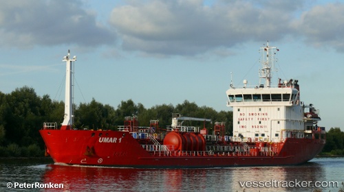
Vessel Umar1 IMO: 9521411, MMSI: 248751000 Chemical Oil Products Tanker
Live AIS position:
UTC. Near MAASVLAKTE - ROTTERDAM),
updated 2023-12-15 13:48:22 UTC.
Find the position of the vessel Umar1 on the map. The latter are known coordinates and path.
marine traffic ship tracker show on live map
The current position of vessel Umar1 is 51.93344 lat / 4.05135 lng. Updated: 2023-12-15 13:48:22 UTCCurrently sailing under the flag of Malta
Umar1 built in 2010 year
Deadweight:
4916 tDetails:
Last coordinates of the vessel:
2023-12-15 13:48:22 UTC, 51.93344, 4.05135, course: 70, speed: 0