 vesseltracker.com
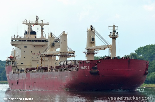
Vessel Umiak I IMO: 9334715, MMSI: 316013340 Bulk Carrier
UTC, 47.71137, -59.50656, course: 333, speed: 5.3
UTC, 47.86724, -59.59496, course: 7, speed: 5.2
2026-02-13 17:37:17 UTC, 48.06472, -59.55431, course: 359, speed: 6.6
Live AIS position:
UTC. 28 nm N of Cape Ray),
updated 2026-02-13 17:37:17 UTC.
Find the position of the vessel Umiak I on the map. The latter are known coordinates and path.
marine traffic ship tracker show on live map
The current position of vessel Umiak I is 48.06472 lat / -59.55431 lng. Updated: 2026-02-13 17:37:17 UTCDetails:
Last coordinates of the vessel:
UTC, 47.57713, -59.43134, course: 334, speed: 5.3UTC, 47.71137, -59.50656, course: 333, speed: 5.3
UTC, 47.86724, -59.59496, course: 7, speed: 5.2
2026-02-13 17:37:17 UTC, 48.06472, -59.55431, course: 359, speed: 6.6