 vesseltracker.com
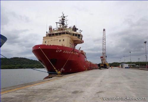
Vessel Up Agua Marinha IMO: 9328455, MMSI: 710001530 Offshore Tug Supply Ship
UTC, -21.49797, -39.98409, course: 351, speed: 5.8
UTC, -21.32266, -40.01728, course: 325, speed: 2.2
2026-02-12 16:19:05 UTC, -21.31489, -40.01888, course: 20, speed: 0.2
Live AIS position:
UTC. Near Capixaba FPSO),
updated 2026-02-12 16:19:05 UTC.
Find the position of the vessel Up Agua Marinha on the map. The latter are known coordinates and path.
marine traffic ship tracker show on live map
The current position of vessel Up Agua Marinha is -21.31489 lat / -40.01888 lng. Updated: 2026-02-12 16:19:05 UTCDetails:
Last coordinates of the vessel:
UTC, -21.80832, -39.93249, course: 354, speed: 6.5UTC, -21.49797, -39.98409, course: 351, speed: 5.8
UTC, -21.32266, -40.01728, course: 325, speed: 2.2
2026-02-12 16:19:05 UTC, -21.31489, -40.01888, course: 20, speed: 0.2