 vesseltracker.com
Find the position of the vessel Us Govt Vessel 202 on the map. The latter are known coordinates and path.
marine traffic ship tracker show on live map
The current position of vessel Us Govt Vessel 202 is 1.83756 lat / 104.76023 lng. Updated: 2025-10-16 10:27:13 UTCCurrently sailing under the flag of USA
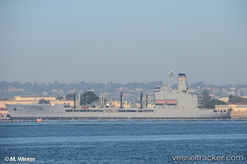
Us Govt Vessel 202 built in 1994 year
Deadweight:
27813 tDetails:
Last coordinates of the vessel:
2025-10-16 10:27:13 UTC, 1.83756, 104.76023, course: 13, speed: 13.4Track of the vessel in the last 14 days
The ship also appears on the maps: