 vesseltracker.com
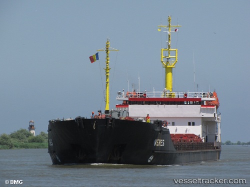
Find the position of the vessel VELA on the map. The latter are known coordinates and path.
marine traffic ship tracker show on live map
The current position of vessel VELA is 41.6701 lat / 17.8083 lng. Updated: 2025-07-24 01:36:09 UTCCurrently sailing under the flag of Palau (Republic of)
VELA built in 1996 year
Deadweight:
6207 tDetails:
Last coordinates of the vessel:
UTC, 41.4375, 18.1846, course: 310, speed: 7.3UTC, 41.5538, 18.0016, course: 309, speed: 7.4
UTC, 41.5974, 17.9304, course: 309, speed: 7.3
2025-07-24 01:36:09 UTC, 41.6701, 17.8083, course: 309, speed: 7.3