 vesseltracker.com
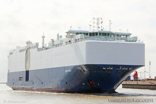
Find the position of the vessel VIKING OCEAN on the map. The latter are known coordinates and path.
marine traffic ship tracker show on live map
The current position of vessel VIKING OCEAN is 30.4617 lat / 129.137 lng. Updated: 2025-08-02 18:26:14 UTCCurrently sailing under the flag of Marshall Islands
VIKING OCEAN built in 2012 year
Deadweight:
12550 tDetails:
Last coordinates of the vessel:
UTC, 30.3344, 128.168, course: 81, speed: 14UTC, 30.3983, 128.608, course: -1, speed: 14
UTC, 30.4417, 128.998, course: -1, speed: 14
2025-08-02 18:26:14 UTC, 30.4617, 129.137, course: -1, speed: 14