 vesseltracker.com
Live AIS position:
36.91258° N, 22.00916° E UTC. Near Kalamai),
updated 2025-11-21 15:36:27 UTC.
Find the position of the vessel VILAMOURA on the map. The latter are known coordinates and path.
marine traffic ship tracker show on live map
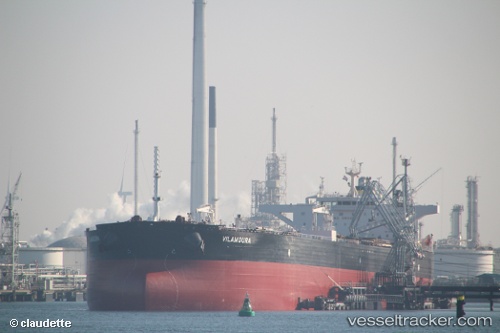
The current position of vessel VILAMOURA is 36.91258 lat / 22.00916 lng. Updated: 2025-11-21 15:36:27 UTCCurrently sailing under the flag of Marshall Islands
VILAMOURA built in 2011 year
Deadweight:
158621 tDetails:
Last coordinates of the vessel:
UTC, 36.95575, 22.05973, course: 122, speed: 1.5UTC, 36.95186, 22.06665, course: 215, speed: 1.8
UTC, 36.92937, 22.02600, course: 191, speed: 1.4
2025-11-21 15:36:27 UTC, 36.91258, 22.00916, course: 195, speed: 1.6
Track of the vessel in the last 14 days
The ship also appears on the maps: