 vesseltracker.com
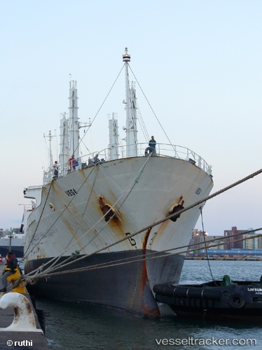
Vessel Vega IMO: 8898271, MMSI: 273211900 Fishing Vessel
UTC, 73.59833, 19.01500, course: -1, speed: 10
UTC, 73.66833, 19.73667, course: -1, speed: 10
2026-01-30 07:51:23 UTC, 73.79833, 21.11833, course: -1, speed: 11
Live AIS position:
UTC. 52 nm SE of Bjornoya),
updated 2026-01-30 07:51:23 UTC.
Find the position of the vessel Vega on the map. The latter are known coordinates and path.
marine traffic ship tracker show on live map
The current position of vessel Vega is 73.79833 lat / 21.11833 lng. Updated: 2026-01-30 07:51:23 UTCDetails:
Last coordinates of the vessel:
UTC, 73.48833, 18.09166, course: -1, speed: 2UTC, 73.59833, 19.01500, course: -1, speed: 10
UTC, 73.66833, 19.73667, course: -1, speed: 10
2026-01-30 07:51:23 UTC, 73.79833, 21.11833, course: -1, speed: 11