 vesseltracker.com
Live AIS position:
71.35158° N, 44.09646° E UTC. 157 nm W of Belushya Guba),
updated 2025-11-21 15:17:15 UTC.
Find the position of the vessel Viking on the map. The latter are known coordinates and path.
marine traffic ship tracker show on live map
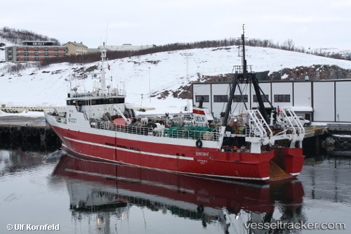
The current position of vessel Viking is 71.35158 lat / 44.09646 lng. Updated: 2025-11-21 15:17:15 UTCCurrently sailing under the flag of Russia
Viking built in 1976 year
Deadweight:
265 tDetails:
Last coordinates of the vessel:
UTC, 71.23791, 44.26172, course: 345, speed: 4UTC, 71.27765, 44.25583, course: 2, speed: 3.8
UTC, 71.30414, 44.25224, course: 344, speed: 4.3
2025-11-21 15:17:15 UTC, 71.35158, 44.09646, course: 304, speed: 3.7