 vesseltracker.com
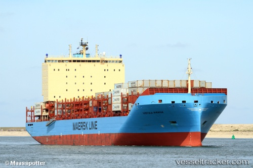
Find the position of the vessel Vistula Maersk on the map. The latter are known coordinates and path.
marine traffic ship tracker show on live map
The current position of vessel Vistula Maersk is 47.145 lat / -41.935 lng. Updated: 2025-07-23 11:39:52 UTCCurrently sailing under the flag of Denmark
Details:
Last coordinates of the vessel:
UTC, 46.9733, -42.6433, course: -1, speed: 11UTC, 47.075, -42.225, course: -1, speed: 10
UTC, 47.1217, -42.0283, course: -1, speed: 9
2025-07-23 11:39:52 UTC, 47.145, -41.935, course: -1, speed: 9