 vesseltracker.com
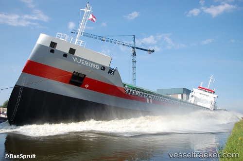
Find the position of the vessel Vlieborg on the map. The latter are known coordinates and path.
marine traffic ship tracker show on live map
The current position of vessel Vlieborg is 37.1793 lat / -6.92519 lng. Updated: 2025-07-21 16:26:08 UTCCurrently sailing under the flag of Netherlands
Vlieborg built in 2012 year
Deadweight:
11850 tDetails:
Last coordinates of the vessel:
UTC, 36.9969, -7.14354, course: 75, speed: 8.8UTC, 37.0692, -6.8418, course: 70, speed: 9.7
UTC, 37.1623, -6.90556, course: 309, speed: 7.1
2025-07-21 16:26:08 UTC, 37.1793, -6.92519, course: 322, speed: 2.5