 vesseltracker.com
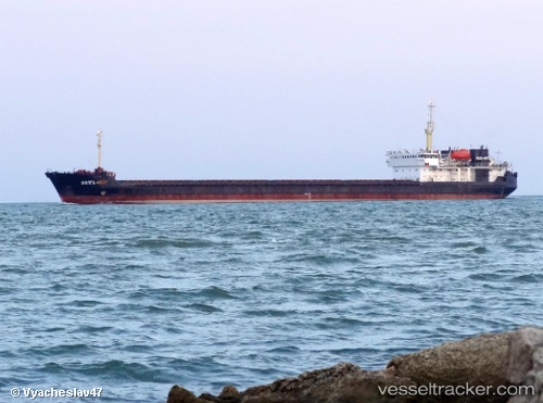
Find the position of the vessel VOLGA 4007 on the map. The latter are known coordinates and path.
marine traffic ship tracker show on live map
The current position of vessel VOLGA 4007 is 40.963993333333 lat / 27.933581666667 lng. Updated: 2025-10-21 17:15:42 UTCCurrently sailing under the flag of Cook Islands
VOLGA 4007 built in 1989 year
Deadweight:
6277 tDetails:
Last coordinates of the vessel:
UTC, 40.963993333333, 27.933581666667, course: 88, speed: 0UTC, 40.963993333333, 27.933581666667, course: 88, speed: 0
UTC, 40.963993333333, 27.933581666667, course: 88, speed: 0
2025-10-21 17:15:42 UTC, 40.963993333333, 27.933581666667, course: 88, speed: 0
Track of the vessel in the last 14 days
The ship also appears on the maps: