 vesseltracker.com
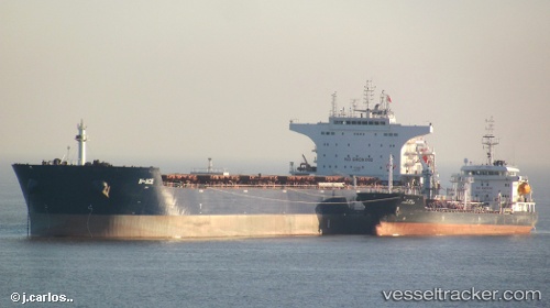
Vessel W ace IMO: 9484687, MMSI: 636014571 Bulk Carrier
UTC, -31.55336, 70.84571, course: 67, speed: 9.1
UTC, -31.43333, 71.15667, course: -1, speed: 8
2026-02-14 23:52:56 UTC, -31.30130, 71.54606, course: 70, speed: 8.9
Live AIS position:
UTC. Open sea (no nearby ports in database)),
updated 2026-02-14 23:52:56 UTC.
Find the position of the vessel W ace on the map. The latter are known coordinates and path.
marine traffic ship tracker show on live map
The current position of vessel W ace is -31.30130 lat / 71.54606 lng. Updated: 2026-02-14 23:52:56 UTCDetails:
Last coordinates of the vessel:
UTC, -31.65810, 70.51736, course: 70, speed: 8.7UTC, -31.55336, 70.84571, course: 67, speed: 9.1
UTC, -31.43333, 71.15667, course: -1, speed: 8
2026-02-14 23:52:56 UTC, -31.30130, 71.54606, course: 70, speed: 8.9