 vesseltracker.com
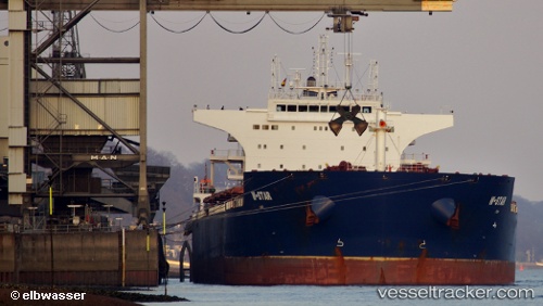
Vessel W star IMO: 9476678, MMSI: 636014569 Bulk Carrier
UTC, -19.74979, 148.13400, course: 81, speed: 0.2
UTC, -19.74884, 148.13399, course: 133, speed: 0.5
2026-02-14 11:30:59 UTC, -19.74892, 148.13377, course: 130, speed: 0.6
Live AIS position:
UTC. Near Abbot Point),
updated 2026-02-14 11:30:59 UTC.
Find the position of the vessel W star on the map. The latter are known coordinates and path.
marine traffic ship tracker show on live map
The current position of vessel W star is -19.74892 lat / 148.13377 lng. Updated: 2026-02-14 11:30:59 UTCDetails:
Last coordinates of the vessel:
UTC, -19.74984, 148.13385, course: 90, speed: 0.1UTC, -19.74979, 148.13400, course: 81, speed: 0.2
UTC, -19.74884, 148.13399, course: 133, speed: 0.5
2026-02-14 11:30:59 UTC, -19.74892, 148.13377, course: 130, speed: 0.6