 vesseltracker.com
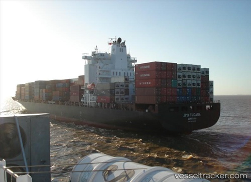
Vessel '563131800' IMO: 9400198, MMSI: 563131800
UTC, 2.79169, 101.31260, course: 293, speed: 0
UTC, 2.77682, 101.24884, course: 263, speed: 2.7
2026-02-18 13:51:51 UTC, 2.99038, 101.33254, course: 55, speed: 12.3
Live AIS position:
UTC. Near PORT KLANG),
updated 2026-02-18 13:51:51 UTC.
Find the position of the vessel '563131800' on the map. The latter are known coordinates and path.
marine traffic ship tracker show on live map
The current position of vessel '563131800' is 2.99038 lat / 101.33254 lng. Updated: 2026-02-18 13:51:51 UTCDetails:
Last coordinates of the vessel:
UTC, 2.79489, 101.30995, course: 161, speed: 0UTC, 2.79169, 101.31260, course: 293, speed: 0
UTC, 2.77682, 101.24884, course: 263, speed: 2.7
2026-02-18 13:51:51 UTC, 2.99038, 101.33254, course: 55, speed: 12.3