 vesseltracker.com
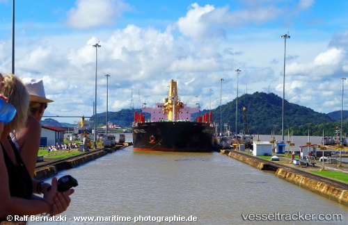
Vessel WHITE SEA IMO: 9502831, MMSI: 538010043 Bulk Carrier
Live AIS position:
UTC. Near Kielczyglow),
updated 2025-09-07 18:02:15 UTC.
Find the position of the vessel WHITE SEA on the map. The latter are known coordinates and path.
marine traffic ship tracker show on live map
The current position of vessel WHITE SEA is 51.22253 lat / 18.98196 lng. Updated: 2025-09-07 18:02:15 UTCCurrently sailing under the flag of Marshall Islands
WHITE SEA built in 2012 year
Deadweight:
35248 tDetails:
Last coordinates of the vessel:
2025-09-07 18:02:15 UTC, 51.22253, 18.98196, course: 179, speed: 11.5