 vesseltracker.com
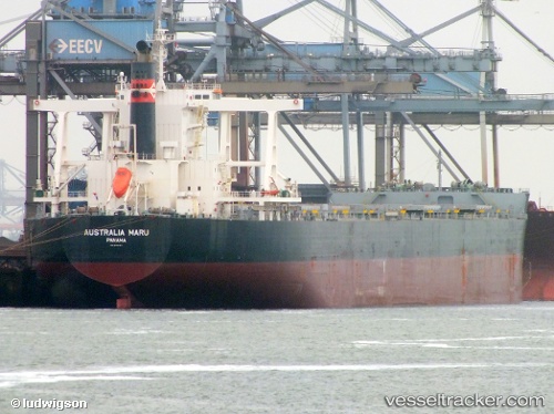
Vessel 538009531 IMO: 9624457, MMSI: 538009531
UTC, 34.70826, 134.83740, course: 22, speed: 0
UTC, 34.70831, 134.83739, course: 22, speed: 0
2026-02-13 23:38:50 UTC, 34.70823, 134.83742, course: 22, speed: 0
Live AIS position:
UTC. Near HIGASHIHARIMA),
updated 2026-02-13 23:38:50 UTC.
Find the position of the vessel 538009531 on the map. The latter are known coordinates and path.
marine traffic ship tracker show on live map
The current position of vessel 538009531 is 34.70823 lat / 134.83742 lng. Updated: 2026-02-13 23:38:50 UTCDetails:
Last coordinates of the vessel:
UTC, 34.70824, 134.83740, course: 22, speed: 0UTC, 34.70826, 134.83740, course: 22, speed: 0
UTC, 34.70831, 134.83739, course: 22, speed: 0
2026-02-13 23:38:50 UTC, 34.70823, 134.83742, course: 22, speed: 0