 vesseltracker.com
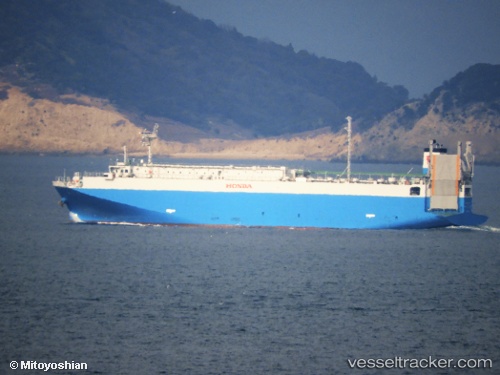
Vessel Wako IMO: 9774044, MMSI: 431008817 Vehicles Carrier
UTC, 34.69593, 139.17368, course: 48, speed: 12.9
UTC, 34.94227, 139.54527, course: 49, speed: 13.8
2026-02-16 20:33:58 UTC, 35.39982, 139.77196, course: 27, speed: 13.9
Live AIS position:
UTC. Near KIMITSU),
updated 2026-02-16 20:33:58 UTC.
Find the position of the vessel Wako on the map. The latter are known coordinates and path.
marine traffic ship tracker show on live map
The current position of vessel Wako is 35.39982 lat / 139.77196 lng. Updated: 2026-02-16 20:33:58 UTCDetails:
Last coordinates of the vessel:
UTC, 34.53026, 138.71661, course: 91, speed: 14.2UTC, 34.69593, 139.17368, course: 48, speed: 12.9
UTC, 34.94227, 139.54527, course: 49, speed: 13.8
2026-02-16 20:33:58 UTC, 35.39982, 139.77196, course: 27, speed: 13.9