 vesseltracker.com
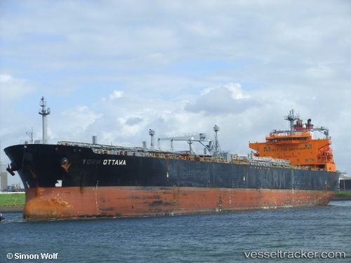
Vessel Walleye IMO: 9256626, MMSI: 538005764 Crude Oil Tanker
Live AIS position:
UTC. 246 nm SW of Eauripik Atoll),
updated 2026-02-02 22:22:25 UTC.
Find the position of the vessel Walleye on the map. The latter are known coordinates and path.
marine traffic ship tracker show on live map
The current position of vessel Walleye is 4.00046 lat / 139.96133 lng. Updated: 2026-02-02 22:22:25 UTCCurrently sailing under the flag of Marshall Is
Walleye built in 2003 year
Deadweight:
70296 tDetails:
Last coordinates of the vessel:
2026-02-02 22:22:25 UTC, 4.00046, 139.96133, course: 30, speed: 41.4