 vesseltracker.com
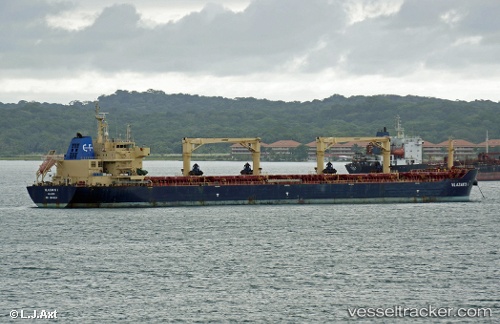
Vessel Watford IMO: 9546124, MMSI: 538003242 Bulk Carrier
UTC, 14.15143, -18.32043, course: 173, speed: 12.1
UTC, 13.95416, -18.30229, course: 173, speed: 12.2
2026-02-22 05:30:50 UTC, 13.53706, -18.25776, course: 174, speed: 12.7
Live AIS position:
UTC. 84 nm SW of Dakar),
updated 2026-02-22 05:30:50 UTC.
Find the position of the vessel Watford on the map. The latter are known coordinates and path.
marine traffic ship tracker show on live map
The current position of vessel Watford is 13.53706 lat / -18.25776 lng. Updated: 2026-02-22 05:30:50 UTCDetails:
Last coordinates of the vessel:
UTC, 14.59593, -18.36534, course: 174, speed: 12.2UTC, 14.15143, -18.32043, course: 173, speed: 12.1
UTC, 13.95416, -18.30229, course: 173, speed: 12.2
2026-02-22 05:30:50 UTC, 13.53706, -18.25776, course: 174, speed: 12.7