 vesseltracker.com
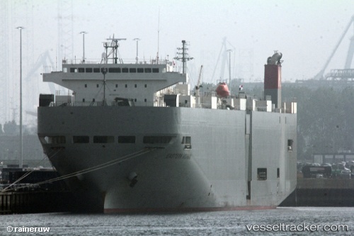
Vessel Western Highway IMO: 9325776, MMSI: 372548000 Vehicles Carrier
UTC, 16.50508, 67.51553, course: 132, speed: 17.4
UTC, 16.12685, 67.94652, course: 134, speed: 17.6
2026-02-20 13:24:49 UTC, 15.90135, 68.20893, course: 131, speed: 17.1
Live AIS position:
UTC. 299 nm W of RATNAGIRI),
updated 2026-02-20 13:24:49 UTC.
Find the position of the vessel Western Highway on the map. The latter are known coordinates and path.
marine traffic ship tracker show on live map
The current position of vessel Western Highway is 15.90135 lat / 68.20893 lng. Updated: 2026-02-20 13:24:49 UTCDetails:
Last coordinates of the vessel:
UTC, 17.07748, 66.84383, course: 132, speed: 17.5UTC, 16.50508, 67.51553, course: 132, speed: 17.4
UTC, 16.12685, 67.94652, course: 134, speed: 17.6
2026-02-20 13:24:49 UTC, 15.90135, 68.20893, course: 131, speed: 17.1