 vesseltracker.com
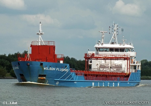
Vessel Wilson Flushing IMO: 9491745, MMSI: 314396000 Multi Purpose Carrier
UTC, 70.26204, 22.61501, course: 218, speed: 0
UTC, 70.26208, 22.61500, course: 217, speed: 0
2026-02-18 04:12:12 UTC, 70.26200, 22.61496, course: 217, speed: 0
Live AIS position:
UTC. Near Stjernøya),
updated 2026-02-18 04:12:12 UTC.
Find the position of the vessel Wilson Flushing on the map. The latter are known coordinates and path.
marine traffic ship tracker show on live map
The current position of vessel Wilson Flushing is 70.26200 lat / 22.61496 lng. Updated: 2026-02-18 04:12:12 UTCCurrently sailing under the flag of Barbados
Wilson Flushing built in 2012 year
Deadweight:
4321 tDetails:
Last coordinates of the vessel:
UTC, 70.26206, 22.61499, course: 217, speed: 0UTC, 70.26204, 22.61501, course: 218, speed: 0
UTC, 70.26208, 22.61500, course: 217, speed: 0
2026-02-18 04:12:12 UTC, 70.26200, 22.61496, course: 217, speed: 0