 vesseltracker.com
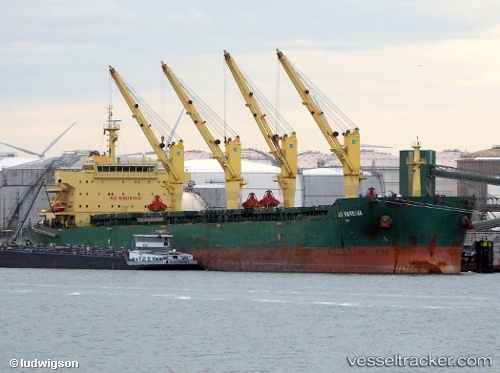
Find the position of the vessel Xin Hai Tong 27 on the map. The latter are known coordinates and path.
marine traffic ship tracker show on live map
The current position of vessel Xin Hai Tong 27 is 21.6689 lat / 37.5629 lng. Updated: 2025-08-04 15:42:36 UTCCurrently sailing under the flag of Marshall Islands
Details:
Last coordinates of the vessel:
UTC, 22.2063, 37.2749, course: 150, speed: 11.6UTC, 21.9024, 37.4403, course: 150, speed: 11.8
UTC, 21.7973, 37.4951, course: 150, speed: 11.7
2025-08-04 15:42:36 UTC, 21.6689, 37.5629, course: 150, speed: 11.8