 vesseltracker.com
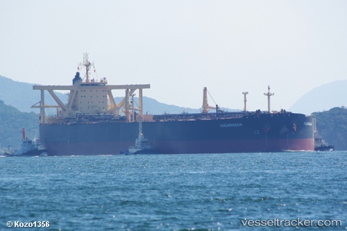
Vessel 'YIO' IMO: 9328716, MMSI: 636019961
Live AIS position:
UTC. 158 nm NW of Amundsen-Scott),
updated 2026-02-03 10:41:27 UTC.
Find the position of the vessel 'YIO' on the map. The latter are known coordinates and path.
marine traffic ship tracker show on live map
The current position of vessel 'YIO' is -87.36765 lat / 75.93811 lng. Updated: 2026-02-03 10:41:27 UTCDetails:
Last coordinates of the vessel:
2026-02-03 10:41:27 UTC, -87.36765, 75.93811, course: -1, speed: 13.9