 vesseltracker.com
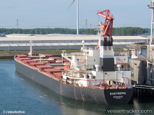
Vessel Yi Peng 5 IMO: 9221190, MMSI: 414388000 Bulk Carrier
UTC, 48.14587, 141.00568, course: 109, speed: 2.9
UTC, 48.31941, 141.07770, course: 22, speed: 12.5
2026-02-17 07:25:37 UTC, 48.76770, 141.19241, course: 325, speed: 6.7
Live AIS position:
UTC. 37 nm SW of Uglegorsk),
updated 2026-02-17 07:25:37 UTC.
Find the position of the vessel Yi Peng 5 on the map. The latter are known coordinates and path.
marine traffic ship tracker show on live map
The current position of vessel Yi Peng 5 is 48.76770 lat / 141.19241 lng. Updated: 2026-02-17 07:25:37 UTCCurrently sailing under the flag of China
Yi Peng 5 built in 2001 year
Deadweight:
76099 tDetails:
Last coordinates of the vessel:
UTC, 48.15741, 140.95644, course: 157, speed: 1.3UTC, 48.14587, 141.00568, course: 109, speed: 2.9
UTC, 48.31941, 141.07770, course: 22, speed: 12.5
2026-02-17 07:25:37 UTC, 48.76770, 141.19241, course: 325, speed: 6.7