 vesseltracker.com
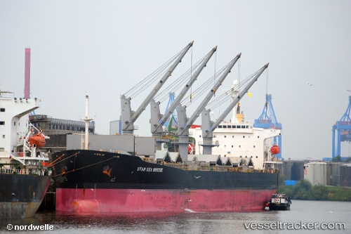
Vessel Yinhehainandao IMO: 9228411, MMSI: 413369540 Bulk Carrier
UTC, -6.40667, 103.69500, course: -1, speed: 7
UTC, -6.40333, 103.91167, course: -1, speed: 7
2026-02-18 03:24:54 UTC, -6.40167, 104.09500, course: -1, speed: 7
Live AIS position:
UTC. 73 nm W of Panjang),
updated 2026-02-18 03:24:54 UTC.
Find the position of the vessel Yinhehainandao on the map. The latter are known coordinates and path.
marine traffic ship tracker show on live map
The current position of vessel Yinhehainandao is -6.40167 lat / 104.09500 lng. Updated: 2026-02-18 03:24:54 UTCCurrently sailing under the flag of China
Details:
Last coordinates of the vessel:
UTC, -6.40500, 103.33500, course: -1, speed: 7UTC, -6.40667, 103.69500, course: -1, speed: 7
UTC, -6.40333, 103.91167, course: -1, speed: 7
2026-02-18 03:24:54 UTC, -6.40167, 104.09500, course: -1, speed: 7