 vesseltracker.com
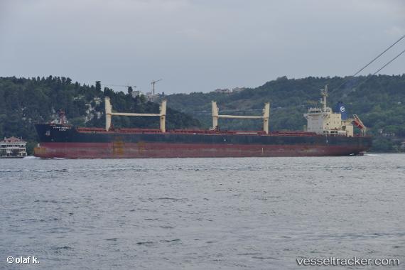
Vessel Young Harmony IMO: 9686546, MMSI: 440209000 Bulk Carrier
UTC, -33.80694, 25.68723, course: 156, speed: 0
UTC, -33.80542, 25.68899, course: 180, speed: 1
2026-02-14 21:22:25 UTC, -33.91982, 25.84515, course: 92, speed: 10.8
Live AIS position:
UTC. Near Port Elizabeth),
updated 2026-02-14 21:22:25 UTC.
Find the position of the vessel Young Harmony on the map. The latter are known coordinates and path.
marine traffic ship tracker show on live map
The current position of vessel Young Harmony is -33.91982 lat / 25.84515 lng. Updated: 2026-02-14 21:22:25 UTCCurrently sailing under the flag of Korea
Details:
Last coordinates of the vessel:
UTC, -33.80694, 25.68727, course: 156, speed: 0UTC, -33.80694, 25.68723, course: 156, speed: 0
UTC, -33.80542, 25.68899, course: 180, speed: 1
2026-02-14 21:22:25 UTC, -33.91982, 25.84515, course: 92, speed: 10.8