 vesseltracker.com
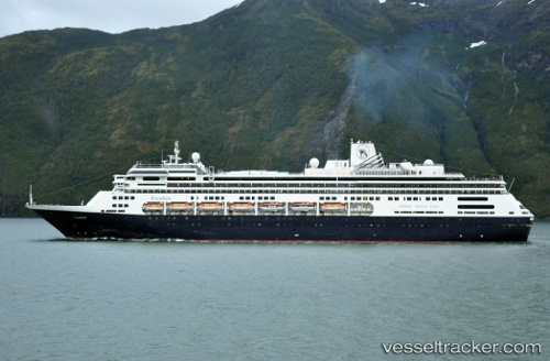
Vessel Zaandam IMO: 9156527, MMSI: 246442000 Cruise Ship
UTC, -35.09277, 138.12238, course: 34, speed: 20.2
UTC, -34.78975, 138.42703, course: 101, speed: 12
2026-02-25 22:07:57 UTC, -34.77716, 138.48209, course: 209, speed: 0
Live AIS position:
UTC. Near Outer Harbor),
updated 2026-02-25 22:07:57 UTC.
Find the position of the vessel Zaandam on the map. The latter are known coordinates and path.
marine traffic ship tracker show on live map
The current position of vessel Zaandam is -34.77716 lat / 138.48209 lng. Updated: 2026-02-25 22:07:57 UTCCurrently sailing under the flag of Netherlands
Zaandam built in 2000 year
Deadweight:
6150 tDetails:
Last coordinates of the vessel:
UTC, -35.31167, 137.45166, course: -1, speed: 19UTC, -35.09277, 138.12238, course: 34, speed: 20.2
UTC, -34.78975, 138.42703, course: 101, speed: 12
2026-02-25 22:07:57 UTC, -34.77716, 138.48209, course: 209, speed: 0