 vesseltracker.com
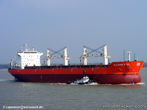
Vessel JINMING 69 IMO: 9287974, MMSI: 314001112 Bulk Carrier
UTC, 27.56679, 49.19097, course: 90, speed: 0
UTC, 27.56689, 49.19103, course: 91, speed: 0
2026-03-02 16:23:15 UTC, 27.56676, 49.19098, course: 91, speed: 0
Live AIS position:
UTC. Near Ras Al Khair),
updated 2026-03-02 16:23:15 UTC.
Find the position of the vessel JINMING 69 on the map. The latter are known coordinates and path.
marine traffic ship tracker show on live map
The current position of vessel JINMING 69 is 27.56676 lat / 49.19098 lng. Updated: 2026-03-02 16:23:15 UTCCurrently sailing under the flag of Barbados
Details:
Last coordinates of the vessel:
UTC, 27.56679, 49.19097, course: 91, speed: 0UTC, 27.56679, 49.19097, course: 90, speed: 0
UTC, 27.56689, 49.19103, course: 91, speed: 0
2026-03-02 16:23:15 UTC, 27.56676, 49.19098, course: 91, speed: 0