 vesseltracker.com
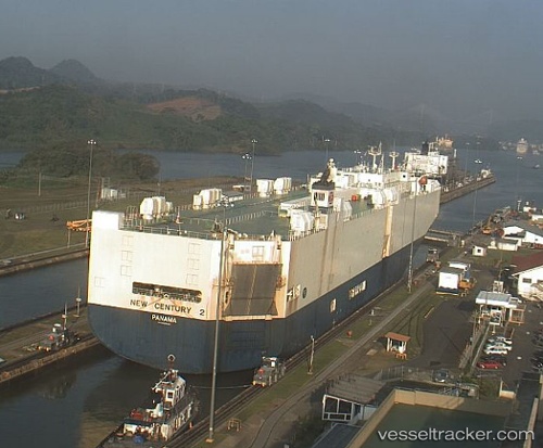
Vessel New Century 2 IMO: 9229403, MMSI: 636017294 Vehicles Carrier
UTC, 35.41253, -129.25923, course: 246, speed: 16.9
UTC, 35.30706, -129.54292, course: 248, speed: 17
2026-03-14 05:42:19 UTC, 35.03562, -130.28227, course: 246, speed: 17
Live Vessel New Century 2 Analytics (details, animations, etc.)
Live AIS position: UTC. 206 nm S of Volcano), updated 2026-03-14 05:42:19 UTC.Find the position of the vessel New Century 2 on the map. The latter are known coordinates and path.
marine traffic ship tracker show on live map
The current position of vessel New Century 2 is 35.03562 lat / -130.28227 lng. Updated: 2026-03-14 05:42:19 UTCDetails:
Last coordinates of the vessel:
UTC, 35.72235, -128.41844, course: 249, speed: 17.4UTC, 35.41253, -129.25923, course: 246, speed: 16.9
UTC, 35.30706, -129.54292, course: 248, speed: 17
2026-03-14 05:42:19 UTC, 35.03562, -130.28227, course: 246, speed: 17