 vesseltracker.com
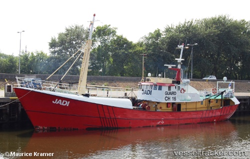
Vessel Jadi IMO: 6417499, MMSI: 370247000 Offshore Support Vessel
Live AIS position:
UTC. Near Fernando De Noronha),
updated 2026-02-02 17:06:59 UTC.
Find the position of the vessel Jadi on the map. The latter are known coordinates and path.
marine traffic ship tracker show on live map
The current position of vessel Jadi is -3.82848 lat / -32.41555 lng. Updated: 2026-02-02 17:06:59 UTCDetails:
Last coordinates of the vessel:
2026-02-02 17:06:59 UTC, -3.82848, -32.41555, course: 102, speed: 0.3