 Charlotte
Current Status
Where is the vessel?
Charlotte is currently in 38 nm E of Rama, based on AIS data received about 17h ago.
Latest AIS update:
Current position: 12.00360° N, 83.58465° W (38 nm E of Rama)
Average speed (last 7 days): Loading…
Average speed (last 30 days): Loading…
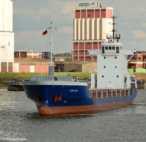
Vessel profile: Charlotte is a General Cargo Ship with dimensions 90m x 14m.
This page combines live AIS, route history, probable destination signals, nearby traffic, and port activity for practical vessel monitoring.
The current position of vessel Charlotte is 12.00360 lat / -83.58465 lng. Updated: 2026-05-23 12:38:40 UTCNearest reference points:
- Near Golfo de Papagayo
Currently sailing under the flag of Antigua Barbuda ![]()
Charlotte built in 1996 year
Deadweight:
2800 tDetails:
Live Vessel Charlotte Analytics (details, animations, etc.)
Recent AIS points (UTC):
2026-05-23 12:11:57 UTC · 12.01820, -83.52132 · SOG 8.7 kn · COG 257°2026-05-23 12:38:40 UTC · 12.00360, -83.58465 · SOG 8.7 kn · COG 258°
2026-05-23 12:38:40 UTC · 12.00360, -83.58465 · SOG 8.7 kn · COG 258°
2026-05-23 12:38:40 UTC · 12.00360, -83.58465 · SOG 8.7 kn · COG 258°