 vesseltracker.com
Live AIS position:
36.86667° N, 75.39333° W UTC. 30 nm E of Cape Henry),
updated 2025-11-19 16:20:24 UTC.
Find the position of the vessel Go Quest on the map. The latter are known coordinates and path.
marine traffic ship tracker show on live map
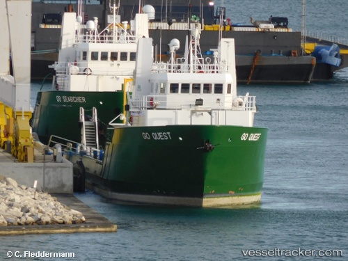
The current position of vessel Go Quest is 36.86667 lat / -75.39333 lng. Updated: 2025-11-19 16:20:24 UTCCurrently sailing under the flag of USA
Details:
Last coordinates of the vessel:
UTC, 36.94833, -75.40500, course: -1, speed: 4UTC, 36.91798, -75.40115, course: -1, speed: 4.6
UTC, 36.87167, -75.39500, course: -1, speed: 4
2025-11-19 16:20:24 UTC, 36.86667, -75.39333, course: -1, speed: 4