 vesseltracker.com
Live AIS position:
37.73525° N, 25.66885° W UTC. Near Ponta Delgada),
updated 2025-11-20 11:00:05 UTC.
Find the position of the vessel Pero De Teive on the map. The latter are known coordinates and path.
marine traffic ship tracker show on live map
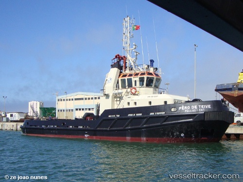
The current position of vessel Pero De Teive is 37.73525 lat / -25.66885 lng. Updated: 2025-11-20 11:00:05 UTCCurrently sailing under the flag of Portugal
Pero De Teive built in 1998 year
Details:
Last coordinates of the vessel:
UTC, 37.73525, -25.66886, course: -1, speed: 0.1UTC, 37.73527, -25.66884, course: -1, speed: 0.1
UTC, 37.73526, -25.66886, course: -1, speed: 0.1
2025-11-20 11:00:05 UTC, 37.73525, -25.66885, course: -1, speed: 0.1