 vesseltracker.com
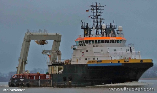
Find the position of the vessel MANTA on the map. The latter are known coordinates and path.
marine traffic ship tracker show on live map
The current position of vessel MANTA is 40.73618 lat / 29.88427 lng. Updated: 2025-11-10 19:22:32 UTCCurrently sailing under the flag of Belgium
MANTA built in 2003 year
Deadweight:
2444 tDetails:
Last coordinates of the vessel:
UTC, 40.73628, 29.88442, course: 275, speed: 0UTC, 40.73625, 29.88442, course: 275, speed: 0
UTC, 40.73620, 29.88419, course: 293, speed: 0
2025-11-10 19:22:32 UTC, 40.73618, 29.88427, course: 317, speed: 0
The ship also appears on the maps: