 vesseltracker.com
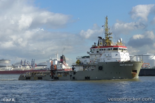
Find the position of the vessel 'SMIT NICOBAR' on the map. The latter are known coordinates and path.
marine traffic ship tracker show on live map
The current position of vessel 'SMIT NICOBAR' is 44.67501 lat / -63.60699 lng. Updated: 2025-11-17 23:15:24 UTCDetails:
Last coordinates of the vessel:
UTC, 44.67507, -63.60706, course: 105, speed: 0UTC, 44.67498, -63.60713, course: 106, speed: 0
UTC, 44.67500, -63.60713, course: 106, speed: 0
2025-11-17 23:15:24 UTC, 44.67501, -63.60699, course: 106, speed: 0